Google Earth and Nano Banana: AI Redesigns Paris in 500 Years
Le brief IA que les pros lisent chaque soir
Les 7 actus IA du jour, décryptées en 5 min. Gratuit.
Inclus dès l'inscription : notre sélection des meilleurs guides & comparatifs IA.
Choisis ton rythme
Gratuit · Pas de spam · Désabonnement en 1 clic
Google Earth and Nano Banana: A Partnership to Reimagine the World
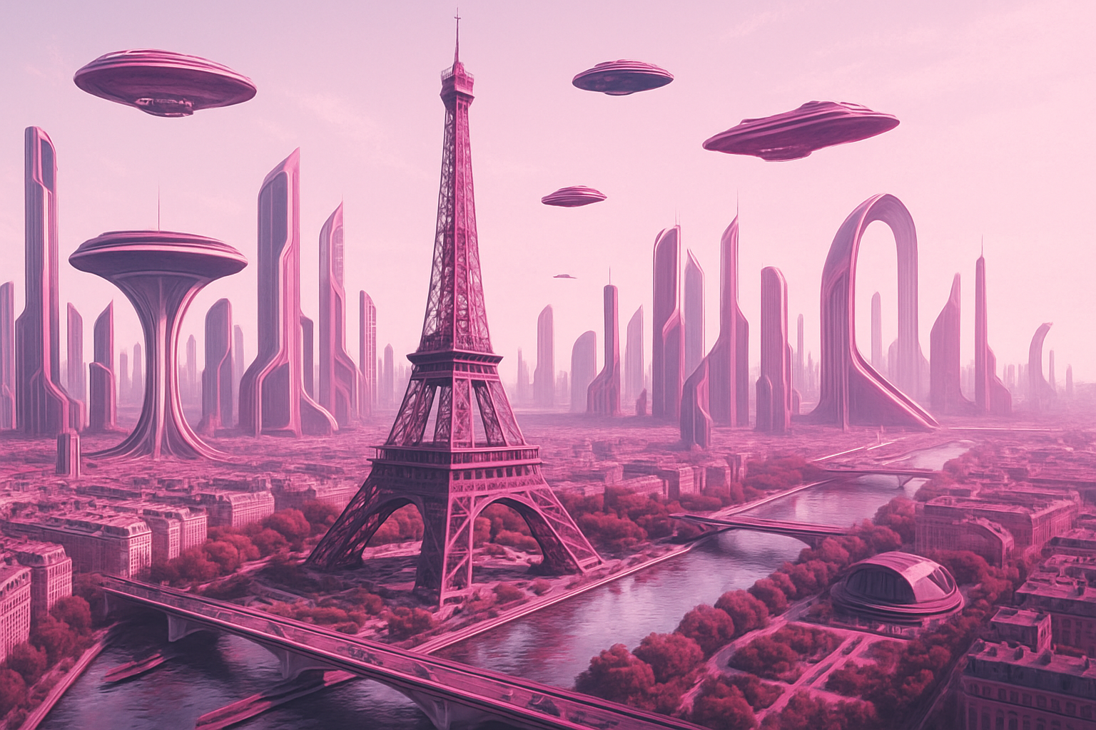
Google Earth is teaming up with Nano Banana, an artificial intelligence developed by Gemini, to transform the way we visualize the world. This collaboration now allows users to modify satellite, aerial, or 3D images directly on the Google Earth web platform. With this technology, it is possible to ask the AI to design a futuristic vision of Paris in 500 years or to recreate the original appearance of historical sites like Pompeii from their current ruins.
To access this innovative feature, users simply need to log into the web version of Google Earth. Once on the map, the user must click on the Create an Image icon located in the toolbar at the top of the screen. Then, they can enter their prompt for Nano Banana in the text field that appears at the bottom of the page. The image generation may take just over a minute, and adjustments can be requested after the initial creation.
Diverse Applications for All Users
The integration of Nano Banana into Google Earth is not limited to mere entertainment. While users can enjoy reimagining their favorite places, this technology also offers practical applications across various fields:
-
Education: Teachers can enrich their lessons by generating educational infographics from Google Earth images, thereby facilitating student understanding.
-
Real Estate: Real estate developers have the opportunity to visualize their projects by asking the AI to create renderings based on Google Earth images, which can help persuade investors or potential buyers.
-
Personal Projects: Whether it's imagining a sports field on a vacant lot or visualizing a renovation, individuals can use the AI to see what their projects would look like in their real environment.
By integrating Nano Banana, Google Earth opens up new perspectives for modifying satellite, aerial, or 3D images. This feature not only allows for the creation of infographics and visuals for infrastructure projects but also invites us to dream about the future of our cities, such as imagining what Paris might look like in 500 years.
Brief IA — L'actualité IA en français
L'essentiel de l'actualité de l'intelligence artificielle, décrypté et expliqué chaque jour.