Google Launches SatWeave and PARDIG, AI Weather and Rain Data
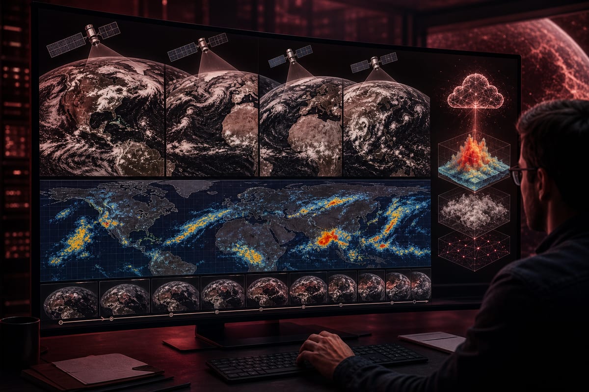
Google has made two key datasets at the heart of its WeatherNext 3 model publicly accessible: SatWeave, a hourly mosaic of geostationary images, and PARDIG, an AI-based precipitation reanalysis. The live streams come with extensive archives, and the company claims a more than 30% improvement in hourly rain detection compared to IMERG-Final.
Free Access on Google Cloud and Extensive Archives
The SatWeave and PARDIG datasets, both live and historical, are available for free on Google Cloud Storage. The historical catalogs of PARDIG are also accessible in Google Earth Engine. The PARDIG archives cover the period from 1999 to 2026, in addition to a live stream. For SatWeave, Google publishes an hourly stream along with an archive dating back over a decade. Both datasets are provided in real-time and historical formats. They join Google's Earth AI portfolio.
PARDIG Evaluated Against Radars and Stations, with +30% Claimed
PARDIG has been compared with three continental radar networks in America, Europe, and Japan, as well as with over 36,000 weather stations worldwide. Google states that PARDIG outperforms major global benchmarks, including NASA's IMERG-Final, for all studied rainfall rates. According to the company, hourly precipitation detection improves by over 30% for light to moderate rains compared to IMERG-Final. PARDIG has also proven effective in detecting extreme rainfall events. Google further expects reliable accuracy on a global scale, including in areas lacking ground measurements.
SatWeave Aggregates 17 Channels and Updates Every Hour
SatWeave aggregates images from five geostationary satellites named GOES-East, GOES-West, Meteosat 0, Meteosat Indian Ocean, and Himawari, despite heterogeneous projections, formats, sensors, and frequencies ranging from 10 to 30 minutes. Google emphasizes that existing global composites often provide four channels or fewer, or update only every few hours. In its published version, SatWeave merges observations from six satellites and covers 17 visible, water vapor, and infrared channels. The update is hourly. According to Google, this frequency allows WeatherNext 3 to generate new global forecasts, whereas some models rely on analyses recalculated every six hours. SatWeave has already been used for medium-term forecasts in WeatherNext 3.
Le brief IA que les pros lisent chaque soir
Les 7 actus IA du jour, décryptées en 5 min. Gratuit.
Inclus dès l'inscription : notre sélection des meilleurs guides & comparatifs IA.
Choisissez votre rythme
Gratuit · Pas de spam · Désabonnement en 1 clic
PARDIG: GPM Observation, ECMWF Inputs, and 15-Minute Resolution
PARDIG, which stands for Precipitation AI Reanalysis: Densely Inferred GPM, relies on an architecture similar to that of WeatherNext 3. It is trained directly from NASA's GPM satellite radar observations, using SatWeave images and atmospheric fields provided by ECMWF as inputs. The product delivers a global precipitation map with a temporal resolution of 15 minutes and a spatial grid of approximately 10 kilometers, with an average latency of about five hours. WeatherNext 3 has utilized PARDIG for medium-term forecasts.
Target Use Cases: Training, Solar Energy, Fires, Hydrological Risks
Both datasets are intended to support the global community working on weather, hydrology, and climate applications. SatWeave provides a live view of clouds and storms, while PARDIG feeds into the rain forecasting training of WeatherNext 3. According to Google, SatWeave and PARDIG play a key role in the development of its model. The studied use cases include forecasting photovoltaic solar energy production, detecting wildfires, and improving models to anticipate floods, landslides, and droughts, particularly in areas where ground-based radar networks are sparse.
Brief IA — L'actualité IA en français
L'essentiel de l'actualité de l'intelligence artificielle, décrypté et expliqué chaque jour.